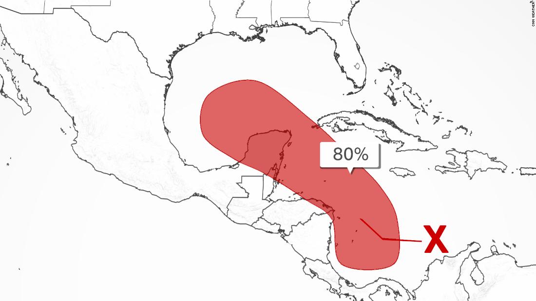
A disorganized cluster of thunderstorms just north of South America has an 80% chance of developing into a tropical system within the next five days, the National Hurricane Center said Wednesday.
“Environmental conditions are forecast to be conducive for development, and a tropical depression is likely to form late this week or this weekend while the system moves northwestward over the northwestern Caribbean Sea, near or across the Yucatan Peninsula of Mexico, and into the western Gulf of Mexico by Sunday,” the hurricane center said.
Texas? Louisiana? Computer models differ
It’s impossible this early to tell where this storm may go, where it might cross onto landfall and how strong it could be. Once it forms, forecast models would improve based on its center of circulation.
“Exactly where the center of rotation forms plays an important part in a storms evolution, so once that develops and guidance has a known starting point, the ending point becomes clearer,” said the weather service office in Houston, which last year had impacts from Beta and Laura and in 2017 endured record flooding by Harvey.
The American model has the latest storm developing and pushing into the central Gulf of Mexico this weekend, making landfall Tuesday along the northern Gulf Coast as a major hurricane. The European model has it making landfall a little farther west on Monday as a much weaker storm.
“There is too much uncertainty at this point as to the intensity and exact location of impact. Ensemble members stretch from Mexico to Florida,” said the Lake Charles weather service office.
Adds its Houston counterpart: “If monitoring model cycles on social media, do not put too much stock into individual model runs. There will be many changes in these from run to run and from model to model in the next few days as the details remain in flux.”
Saharan dust isn’t shutting the tropics down
The tropics are still bubbling up despite quite a bit of Saharan dust in the atmosphere. Saharan dust typically suppresses tropical activity, but it notably doesn’t impact the entire Atlantic/Caribbean.
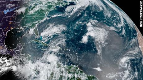
“There’s actually likely storm formation on the southern edge of the Saharan dust outbreak,” said Bowen Pan of the atmospheric sciences department at Colorado State University.
Indeed, there is significant temperature and wind contrast between areas with and without dust, with more development on the south side of the dust, Pan said.